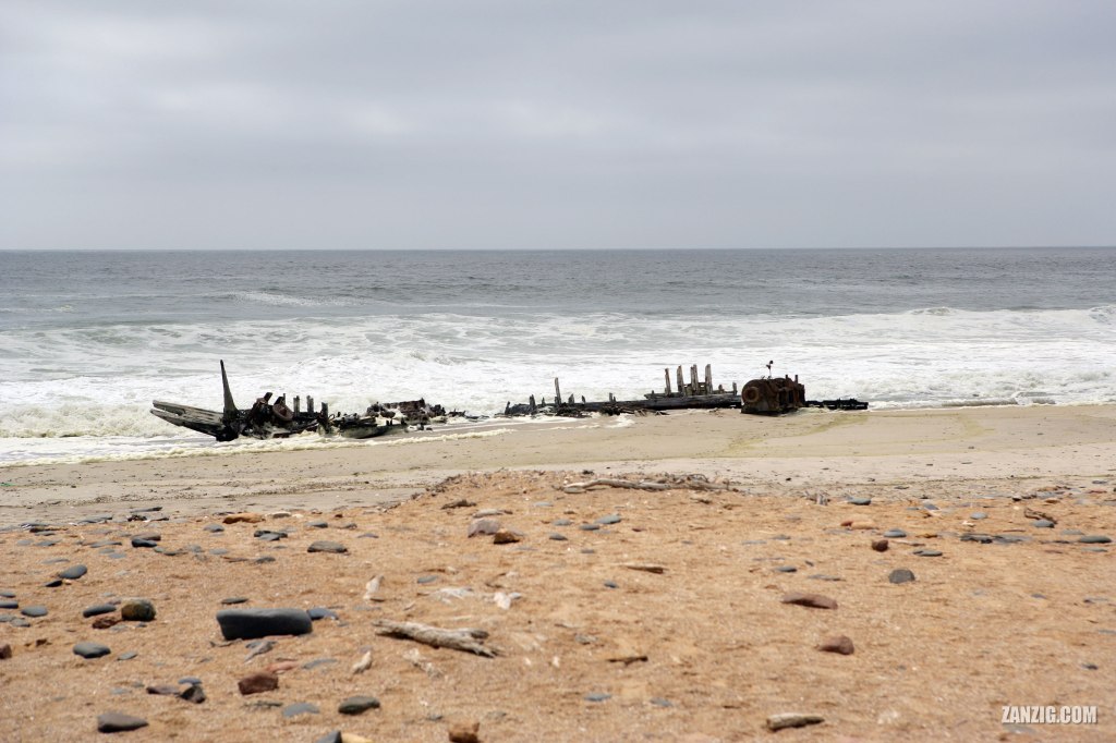
DECEMBER 2006 – The wreck of the South West Seal, a 90-ton South African fishing vessel, that ran aground in June 1976 along the shoreline of the Skeleton Coast National Park in Namibia. © Mark Zanzig/zanzig.com
The story behind the image
A couple of days ago I blogged about the old oil drilling rig that rusts next to the C34 highway at Namibia’s Skeleton Coast National Park. After an hour driving down south we approached the next highlight of the park: the wreck of the South West Seal, a 90-ton South African fishing vessel, that ran aground in June 1976.
The strong winds of the Atlantic Ocean caused countless ships to sink along the shores of Namibia. It was a sea passage feared by ship crews and ultimately gave the place its scary name – “Skeleton Coast”. If your ship ran aground in heavy sea and you were able to reach the beach alive, you’d still find yourself in the middle of a giant desert that stretches for many miles into the mainland without any civilization nearby. Indeed, a deadly place.
This wreck is popular with visitors of the national park and has got it’s own parking lot. After a short hike you will see it, and just like the oil drilling rig it is somewhat bizarre to see the remains of the formerly large ship. It’s interesting to compare this 2006 image to more recent images on Google Maps to see how the wreck has further disintegrated over time.
The high resolution image
| Capture Date & Time | 02-DEC-2006, 14:42 |
| Location | Skeleton Coast National Park, Namibia |
| Camera | Canon EOS-1Ds Mark II |
| Lens | Canon EF 24-70 mm 2.8 L USM |
| ISO | 100 |
| Exposure | 1/1300 sec at f/5.6 |
| Digital Image Source Format | JPEG, 24 bits/pixel, AdobeRGB |
| Edited Image Format | JPEG, 24 bits/pixel, sRGB |
| Edited Image Dimensions | 4992 x 3328 Pixels |
| Copyright | © by Mark Zanzig/zanzig.com |

1 Comment