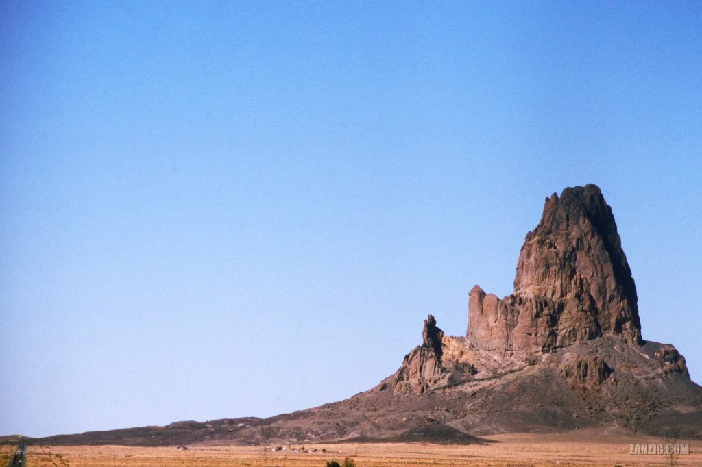
SEPTEMBER 2003 – Agathia Peak, near Kayenta, Arizona. Photo © by Mark Zanzig/zanzig.com
The story behind the image
2003. In Kayenta, Arizona, we left Hghway 160 and turned north heading towards Monument Valley on Highwy 163. The first few miles from Kayenta were not spectacular at all.
But then!
Once we had reached the huge wide open plains we were overwhelmed. Suddenly, we had one entirely straight highway in front of us. And in the distance, miles away really, was a giant vulcanic fin rising out of the plains: Agathia Peak (aka “El Capitan”). It was not big at first but as we got closer on the straight highway, it grew to gigantic proportions.
From the distance I took an image of the rock, and deliberately put the highway into the frame (bottom left) so viewers had a scale.
Finally, we had reached (the outskirts of) Monument Valley.
An overwhelming experience.
The high resolution image
| Capture Date | 14-SEP-2003 |
| Location | Highway 163 Arizona |
| Camera | Canon AE-1 Program |
| Image Source | Slide Film – Fuji Sensia |
| Digital Image Source | EPSON Perfection 4870 Photo |
| Digital Image Source Format | TIFF, 48 bits/pixel, sRGB |
| Edited Image Format | JPEG, 24 bits/pixel, sRGB |
| Edited Image Dimensions | 6060 x 4040 Pixels |
| Copyright | © by Mark Zanzig/zanzig.com |