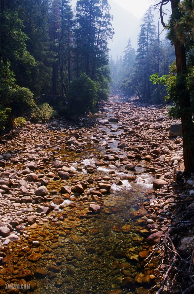
SEPTEMBER 2003 – Merced River, seen from the Happy Isles Bridge in the Yosemite National Park, California. Photo © Mark Zanzig/zanzig.com
The story behind the image
We had entered Yosemite National Park at its eastern entrance and now drove up Tioga Road. Long windings and just light traffic, fortunately. Then we approached the lovely Tenaya Lake with its picnic areas, trailheads, and beaches. Our drive continued towards west on Tigoa Road and after about 10 Miles we were warned that a huge fire was coming up – the Whiskey Fire which had been burning for 55 days already – and we had to drive through large clouds of smoke. In fact, I still found it quite challenging even if it was safe by NPS standards. But we had to pass as the road was the only road towards west.
Sadly, when we approached the Yosemite Valley Visitor Center, the smoke clouds were present as well. We took a brief hike along the John Muir Trail where I shot this image of Merced River (from the Happy Isles Bridge towards south.) You will notice that the distance is light grey and a blur of fog that was so dense we just barely make out the shapes of the surrounding mountains.
We realized that it was not the experience we had hoped for and decided to not stay the night in the area but move on towards the coast.
I need to return someday when the conditions are better.
The high resolution image
| Capture Date | 24-SEP-2003 |
| Location | Yosemite National Park, CA |
| Camera | Canon AE-1 Program |
| Image Source | Fuji Slide Film |
| Digital Image Source | EPSON Perfection 4870 Photo |
| Digital Image Source Format | TIFF, 48 bits/pixel, sRGB |
| Edited Image Format | JPEG, 24 bits/pixel, sRGB |
| Edited Image Dimensions | 4262 x 6454 Pixels |
| Copyright | © by Mark Zanzig/zanzig.com |