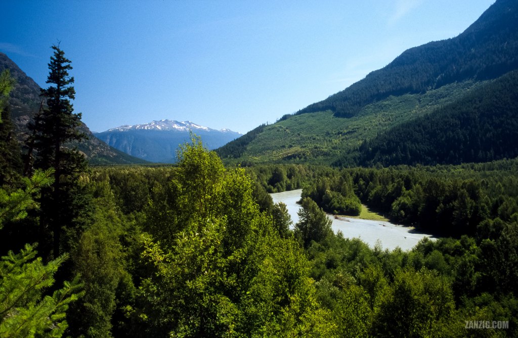
AUGUST 2002 – Bella Coola Valley with the Bella Coola River and the majestic Caribou Mountain in the back. Photographed from Highway 20 near Bella Coola in B.C., Canada. © Mark Zanzig/zanzig.com
The story behind the image
The Big Hill separates Bella Coola in British Columbia from the rest of Canada. Just Highway 20 connects Bella Coola to Williams Lake, the next city, situated about 450 kilometers to the East.
I shot this image near the trailhead of The Alexander Mackenzie Memorial Trail before we passed The Big Rock (which is a really large rock next to the highway) which marks the western entrance to the rural and steep gravel section of the long highway. I like the location slightly above the river bed with the beautiful valley and and the majestic Caribou Mountain in the back.
Highway 20 is also called Freedom Highway. Back in the 1940s, the government claimed it was impossible to build the road. However, the locals took things into their own hands, and on 26th September 1953 they completed the road. You can find out more about it at the Bella Coola Valley Museum.
The highway has some steep grades – up to 18% – on a well-maintained road that can be quite narrow at times. The Western segments of the highway are made from gravel, so a 4×4 truck is better suited for the highway than your typical sedan.
We were lucky, by the way, and did not experience a flat tyre or overheating engine.
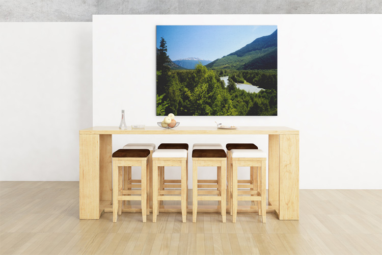
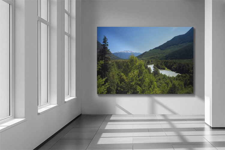
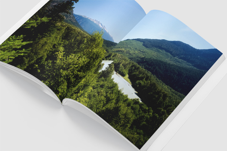
Design ideas
The high resolution image
| Capture Date | 16-AUG-2002 |
| Location | Highway 20 near Bella Coola, B.C. |
| Camera | Canon AE-1 Program |
| Image Source | Fuji Slide Film |
| Digital Image Source | Minolta Dimage Scan Elite II |
| Digital Image Source Format | TIFF, 48 bits/pixel, sRGB |
| Edited Image Format | JPEG, 24 bits/pixel, sRGB |
| Edited Image Dimensions | 3838 x 2508 Pixels |
| Copyright | © by Mark Zanzig/zanzig.com |
