
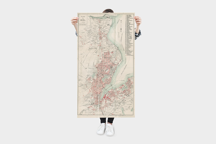
1902 – A city map of Kiel in Germany that was included in a pocket travel guidebook covering the region between Kiel and Lübeck.. Scan: Mark Zanzig/zanzig.com
The story behind the image
Today, I have a bonus post for you. I call it a bonus because it’s not a photo (but a scan of an artwork) and may only be relevant for those who actively research the history of Kiel and surroundings. However, looking at the design ideas below, I feel that it may be an attractive wall decoration for your home as well (if you are interested in the region.)
The map came with a pocket travel guidebook published in 1902 – “Richter’s Ost-Holstein – Touristenführer mit Karten und Plänen” – for the region between Kiel and Lübeck. The book was already in its 14th edition which confirms that tourism in the region had really picked up by then.
I did not alter the colors of the calibrated scan, but the size of the original was too large for my EPSON scanner so I had to do three scans and stitch them together (which went fairly well.) In any event, the high resolution image is 10754 x 19782 pixels (212 Megapixels) and enables even very large prints.
Enjoy!
Design ideas
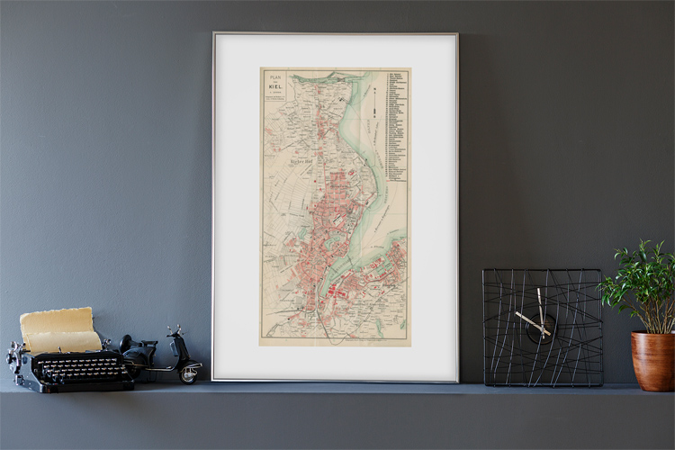

The high resolution image
| Published | 1902 |
| Publisher | Verlagsanstalt und Druckerei AG, Hamburg |
| Location | Kiel, Germany |
| Image Source | 22.7 x 41.9 Lithography |
| Digital Image Source | EPSON Perfection 4870 Photo |
| Digital Image Source Format | TIFF, 48 bits/pixel, sRGB |
| Edited Image Format | JPEG, 24 bits/pixel, sRGB |
| Edited Image Dimensions | 10754 x 19782 Pixels |
| Copyright | Scan © Mark Zanzig/zanzig.com |
