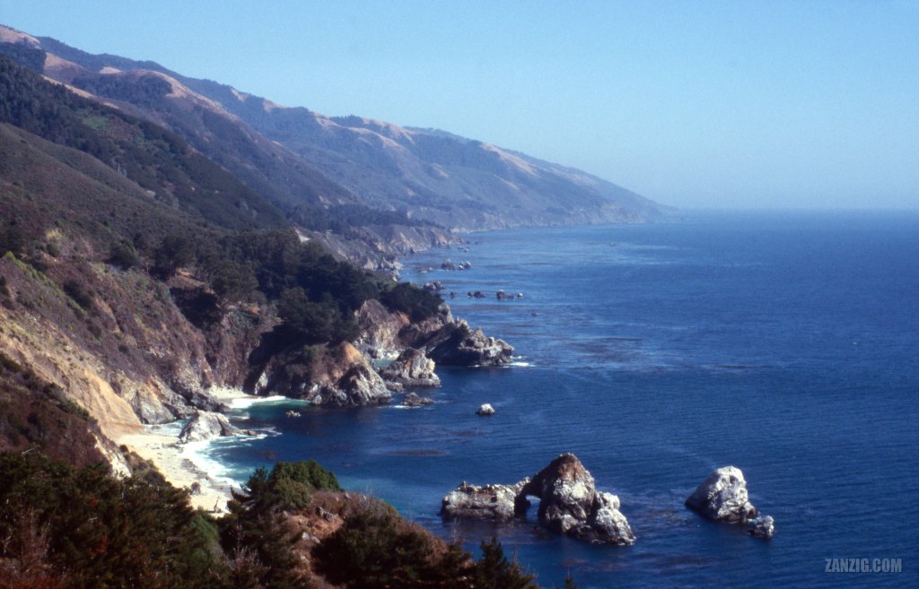
SEPTEMBER 2003 – View along the Californian coastline known as Big Sur. Photo © by Mark Zanzig/zanzig.com
The story behind the image
The drive along the famous Highway Number One was a key attraction we wanted to experience in California. So we drove from San Francisco to Los Angeles all the way along the old highway instead of the modern and faster Highway 101.
The stretch between Pacific Grove and San Simeon is also known as Big Sur. Here, the highway has been built closely to the shoreline. This makes it a truly scenic highway, and it took us much longer to reach the South than we had expected, because we were stopping so often admiring the scene (and taking photos). 🙂
This is the iconic view from the Julia Pfeiffer Burns State Park Vista Point. It hardly can get any better. The Julia Pfeiffer Burns State Park is right behind the rock formations in the middle, featuring the McWay Cove and McWay Falls that go straight into the sea (or at least right onto the beach.) The park can be easily accessed from the highway, and there is a short, easy trail that leads you from the parking lot to the falls.
I like the photo for its awesome colors and unspoilt nature. It’s easy to imagine that this place has not changed a lot over the past centuries. That it was as beautiful back then, and that it will be as beautiful in the future.
Nice.
| Capture Date & Time | 05-SEP-2003 |
| Location | Cabrillo Highway, CA |
| Camera | Canon AE-1 Program |
| Image Source | Fuji Slide Film |
| Digital Image Source | EPSON Perfection 4870 Photo |
| Digital Image Source Format | TIFF, 48 bits/pixel, sRGB |
| Edited Image Format | JPEG, 24 bits/pixel, sRGB |
| Edited Image Dimensions | 6527 x 4192 Pixels |
| Copyright | © by Mark Zanzig/zanzig.com |
